Topographic Mapping Note Sheet
1. Topography is the mapping of elevation and height.
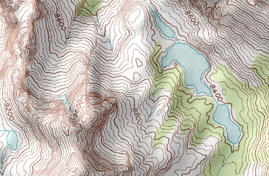
2. A topographic map tells us the elevation using land contours.
K
3. Some people that might use a topographic map are Firefighters to figure out the direction of fires. Hikers could Also use topographic maps.
Define The Following:
Elevation:
Height of a place relative to a reference height
Contour Lines:
A line connecting points that have the same elevation
Contour Interval:
The difference in elevation between 2 adjacent contour lines
Depression Contour:
Contour lines indicating a downward slope
